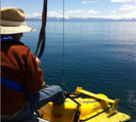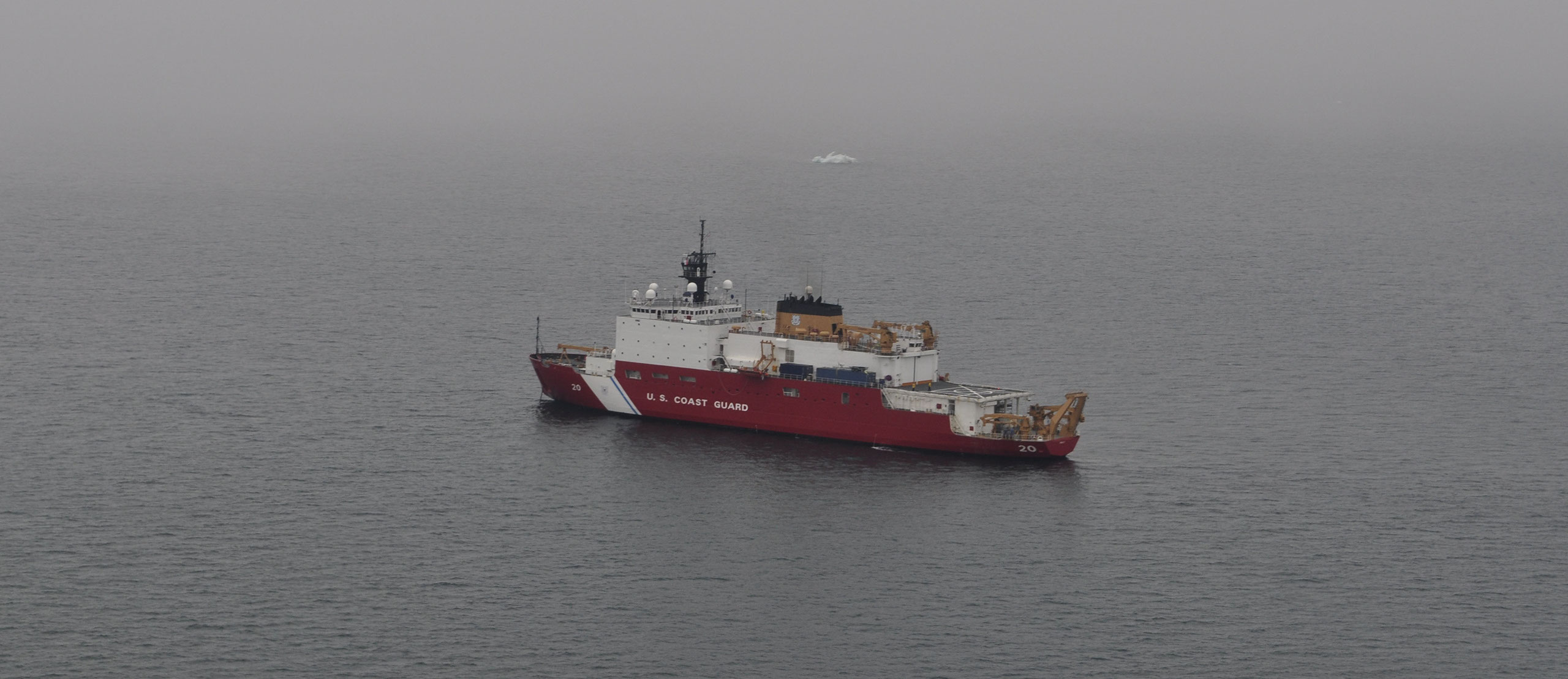
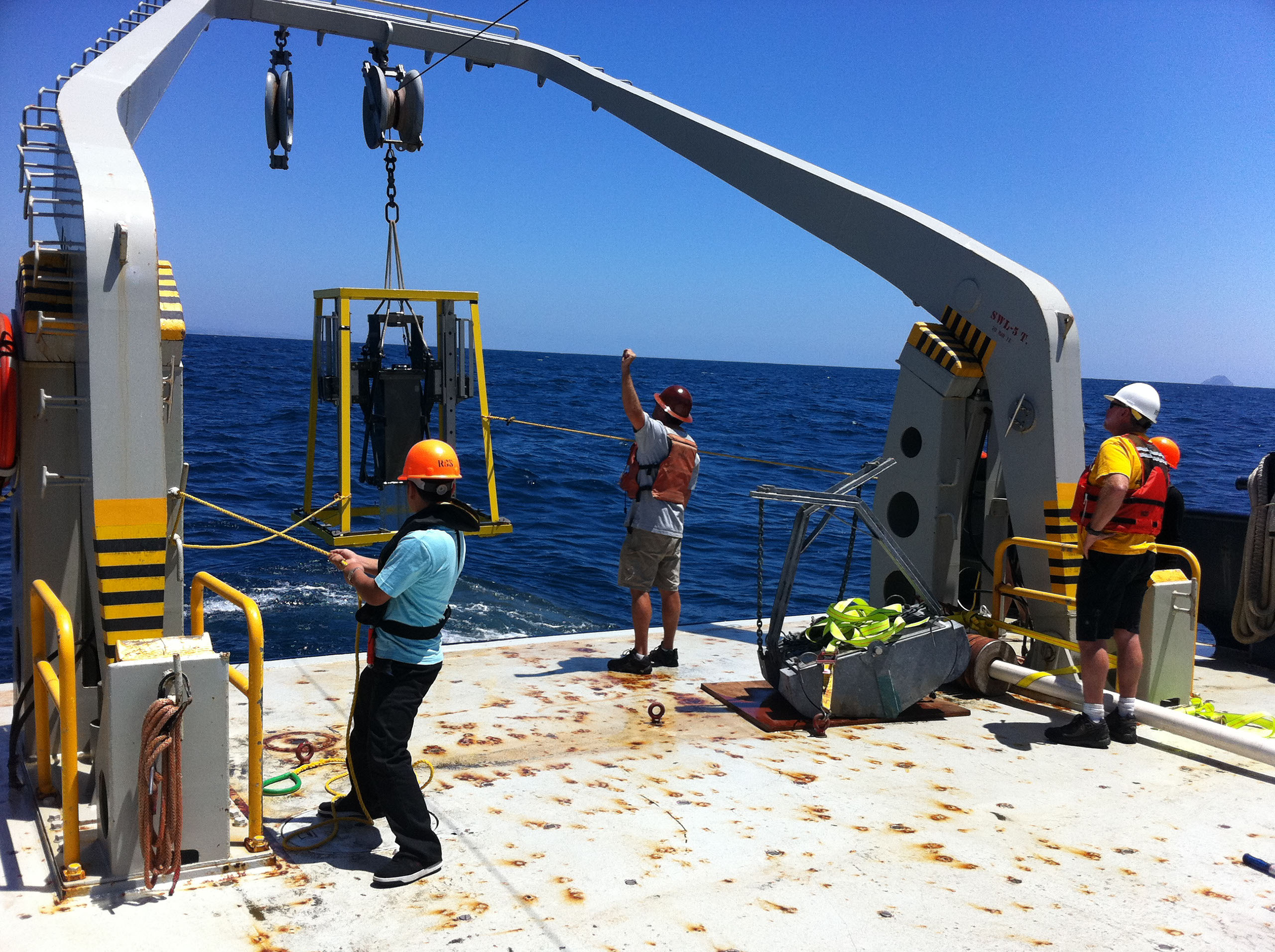

We use geophysical tools to study geology underwater. These tools include swath bathymetry, sidescan sonar, and sub-bottom seismic methods and they can be towed from small boats and larger research vessels. The swath bathymetry and sidescan sonar map the sea floor morphology and roughness, while the sub-bottom seismic data image the sediment and rock layers beneath the seafloor. We also collect sediment cores to groundtruth the geophysical data, obtain ages of sediment layers, and to measure sediment properties such as grain size.
We use these data to study:
- Sequence stratigraphy and sediment processes
- Neotectonics, paleoseismology, earthquake hazard
- Subaqeous landslides
- Coastal geomorphology
- Geologic controls on habitats
For details on past and current projects, see "Projects"
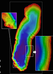
Swath Bathymetry
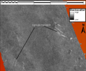
sidescan sonar
Sub-bottom seismic